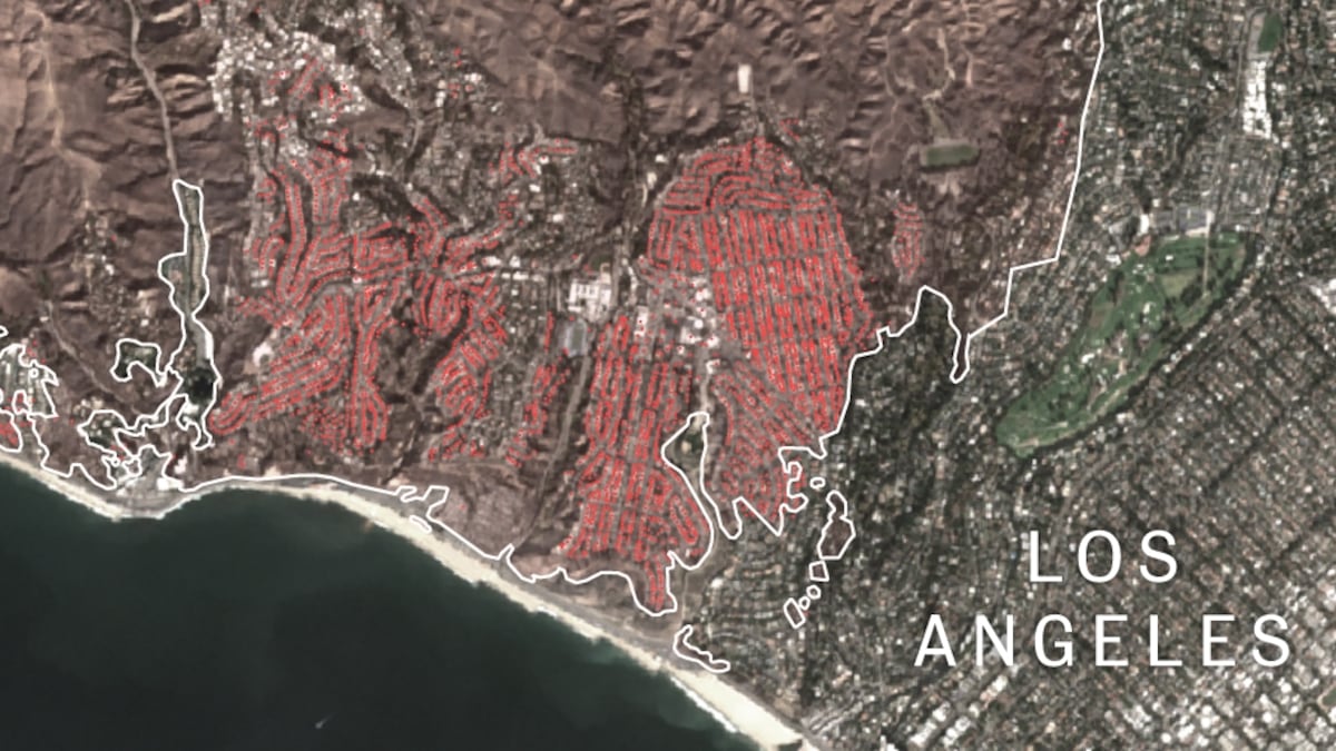
Satellite images reveal the scale of devastation from Los Angeles wildfires
The fires have scorched more than 60 square miles of the Californian city area and have damaged or destroyed at least 11,000 structures

The worst fires in the history of the U.S. city of Los Angeles have claimed at least 24 lives and scorched more than 60 square miles. Of the three fires that broke out on January 7, the largest is the so-called Palisades Fire, spanning 37 square miles. Satellite images from the ESA clearly reveal the extent of the fire: healthy vegetation is highlighted in green, while charred areas appear in red.


